
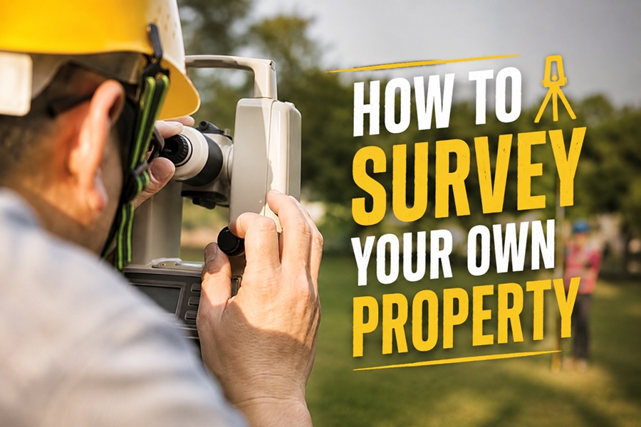
You can get a good estimate of your own property boundaries by gathering your deed and plat map, locating existing survey markers, and using public property records to measure and map your lines, but it is important to understand that a do-it-yourself survey is only an approximation, not a legally authoritative one. For any official or legal purpose, such as building near a boundary, resolving a dispute, or selling, you need a licensed professional surveyor, whose survey is accurate and legally recognized. DIY methods are great for satisfying your own curiosity, planning a fence or garden roughly, or getting a general sense of where your lines run, but knowing their limits, and when to call a pro, is essential.
Many property owners want to understand where their boundaries actually lie, whether for planning a project, checking a fence line, or simple curiosity. While you cannot replace a licensed surveyor for official purposes, you can do a fair amount yourself to estimate your boundaries. This guide explains how to survey your own property using the records and markers available to you, the tools that help, and, crucially, when the job requires a professional.
| What you can do | Estimate your boundaries yourself |
| Key documents | Your deed and plat map |
| Find on-site | Existing survey markers or pins |
| Records | Public property and GIS records |
| DIY result | An approximation, not legally official |
| Good for | Curiosity and rough planning |
| Need a pro for | Building, disputes, and selling |
| Authoritative survey | Only from a licensed surveyor |
What a Property Survey Is
A property survey determines the precise boundaries of a parcel of land, defining exactly where your property begins and ends. Professional surveys are performed by licensed surveyors using specialized equipment and legal records, and they carry legal weight, which is why they are required for official purposes. The corners of a property are typically marked by physical monuments, such as iron pins or stakes, placed by surveyors.
When you survey your own property, you are essentially trying to locate and understand those established boundaries using available records and markers, rather than creating a new legally binding survey. This distinction matters: you can reasonably estimate where your lines are, which is useful for many everyday purposes, but your DIY findings do not carry the legal authority of a professional survey. Keeping that in mind sets the right expectations for what you can accomplish yourself.
Start With Your Deed and Plat Map
The foundation of surveying your own property is the paperwork that describes it. Your property deed contains a legal description of your land, and the plat map, a recorded map of your property and the surrounding parcels, shows your lot’s dimensions and boundaries. These documents are the starting point for understanding where your lines run.
- Locate your deed, which contains the legal description of your property
- Find your plat map, showing your lot’s shape, dimensions, and boundaries
- Check whether a previous survey of your property exists, which is very helpful
- Obtain these from your records, the county recorder, or local property offices
- Review the measurements and boundary descriptions they provide
Use Public Property Records
Beyond your own documents, a wealth of public property information can help you understand your boundaries. Many counties and municipalities provide online property records and GIS (geographic information system) mapping tools that show parcel boundaries overlaid on maps, letting you see the approximate shape and lines of your property. County assessor and recorder offices hold property records, past surveys, and plat maps. These public resources are invaluable for cross-referencing your deed and plat, and for getting a visual sense of your boundaries. Keep in mind that online GIS parcel lines are approximate and meant for reference, not precise legal boundaries, but they are excellent for a general understanding.
Locate Existing Survey Markers
One of the most practical steps in surveying your own property is finding the physical survey markers that may already mark your corners. Surveyors typically place monuments, often iron pins, rods, or stakes, sometimes with caps, at the property corners. These are frequently found at or just below ground level at the corners of the lot.
- Use your plat map to identify approximately where your property corners should be.
- Search those corner areas carefully, checking at and just below ground level.
- Look for iron pins, rods, stakes, or capped markers left by surveyors.
- A metal detector can help locate buried metal markers.
- Once found, the markers show your actual corner points on the ground.
Finding existing markers is the closest a DIY effort gets to real accuracy, since they were placed by professionals. If you can locate the corner monuments, you can string a line between them to see your boundary.
Helpful Tools
A few tools make surveying your own property easier and more accurate. Having them on hand helps you locate markers and measure your lines.
- A copy of your deed, plat map, and any existing survey
- A metal detector to help find buried metal survey markers
- A long measuring tape or measuring wheel for distances
- Stakes and string to mark and visualize boundary lines
- Access to your county’s online GIS and property records
The Limits of a DIY Survey
It is essential to be realistic about what a DIY survey can and cannot do. Your own efforts can give you a reasonable estimate of your boundaries, which is fine for personal planning, curiosity, or a rough idea of where to place a garden. But a DIY survey is not precise or legally authoritative, and boundary determinations can be surprisingly complex, involving exact measurements, legal descriptions, and professional interpretation. Relying on a DIY estimate for anything important, like building a structure, installing a fence right at the line, or settling a disagreement with a neighbor, is risky, because errors can lead to costly legal or construction problems. Know that your DIY result is an approximation, not a substitute for professional work.
When to Hire a Professional Surveyor
For any situation where accuracy and legal recognition matter, you need a licensed professional surveyor. Hire one when you are building a structure, addition, or fence near a boundary, when there is a boundary dispute with a neighbor, when buying or selling property, when subdividing land, or whenever you need an official, legally recognized determination of your property lines. A professional surveyor has the training, equipment, and legal authority to establish your boundaries precisely and produce a survey that holds up legally. The cost is well worth it to avoid the far greater expense and trouble of building in the wrong place or losing a boundary dispute. When in doubt, or when anything official is involved, hire a pro.
Frequently Asked Questions
Can I survey my own property?
You can estimate your boundaries yourself using your deed, plat map, public records, and existing survey markers, which is fine for curiosity and rough planning. However, a DIY survey is not legally authoritative; official purposes require a licensed professional surveyor.
How do I find my property lines myself?
Start with your deed and plat map, cross-reference public GIS and property records, and search your property corners for existing survey markers like iron pins, which a metal detector can help locate. These give a good estimate of where your lines run.
Are DIY property surveys accurate?
They are approximate, not precise or legally authoritative. Locating existing professional markers gets you closest to accuracy, but boundary determination is complex, so DIY results should not be relied on for building, fencing at the line, or disputes.
When do I need a professional surveyor?
Hire a licensed surveyor for building near a boundary, boundary disputes, buying or selling, subdividing, or any official, legally recognized determination of your lines. Only a professional survey carries the accuracy and legal weight these situations require.
How much does a professional property survey cost?
It varies with the size and complexity of the property, its location, and the type of survey needed. While it is an added expense, it is far cheaper than the cost of building in the wrong place or losing a boundary dispute, so it is worthwhile when accuracy matters.
Final Thoughts
You can do a surprising amount to survey your own property, using your deed and plat map, public GIS and property records, and any existing survey markers to estimate where your boundaries lie, which is perfect for curiosity and rough planning. Just remember the crucial limit: a DIY survey is an approximation, not a legally authoritative one. For building, fencing at the line, disputes, or selling, a licensed professional surveyor is essential. Understand your boundaries yourself for everyday purposes, but always call a pro when accuracy and legal recognition truly matter.